Maritime traffic tracking
GIS-app for maritime vessel tracking.
https://maritime.kalletolonen.com/
Kalle Tolonen
March 19, 2026
The AIS Ship Tracker is a full-stack maritime tracking application that visualizes the live locations, metadata, and historical movement of all sea vessels operating within the Baltic Sea and coastal Finland (powered by Leaflet and OpenSeaMap).
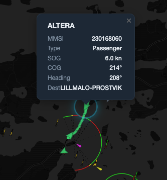
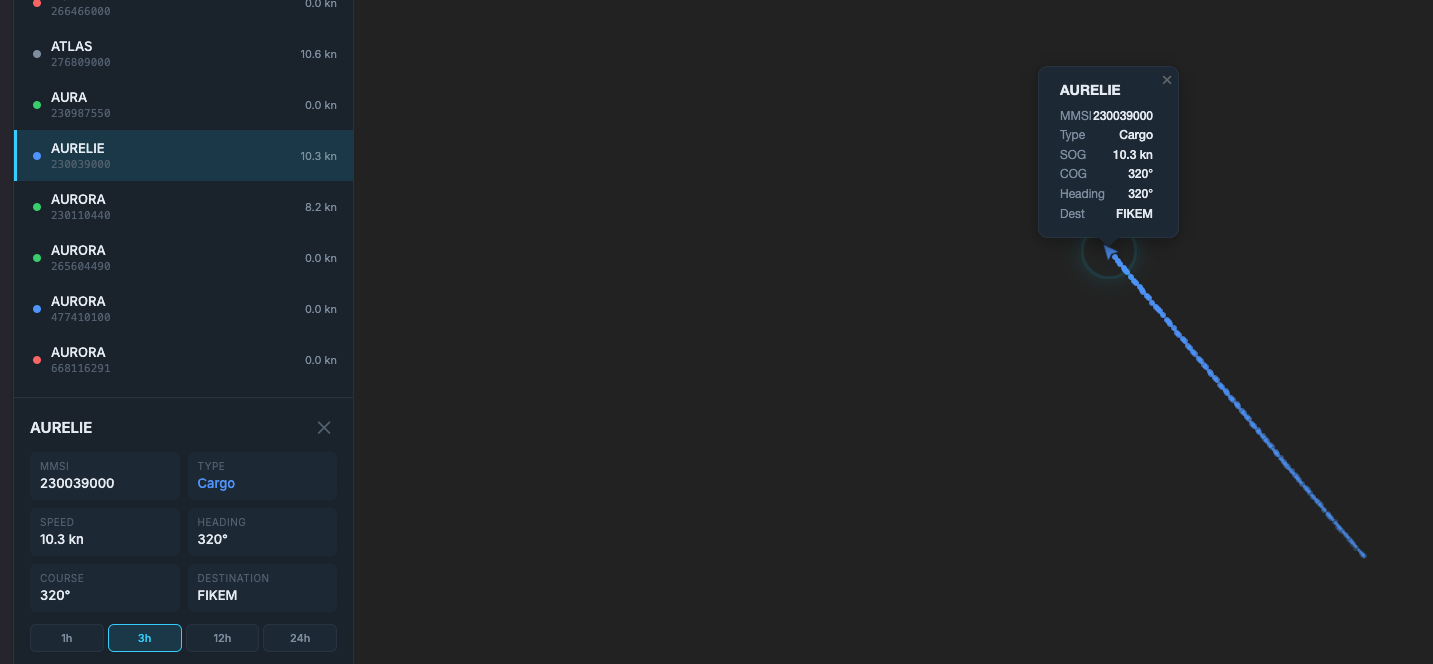
Users can also tap on any vessel to pull up its exact metadata (such as its call sign, current speed over ground, heading, and cargo type) and instantly view a trailing line indicating the ship's historical route over the hours.
The application is built entirely on a modern async Python stack using FastAPI for routing, and operates in three distinct layers: Data Ingestion, State Management & Storage, and Real-Time Delivery.
Data Ingestion (MQTT)
The lifeblood of the application is the background daemon. On startup, it opens a persistent WebSocket connection to the Finnish Transport Infrastructure Agency's (Digitraffic Marine) public MQTT broker. It subscribes to two distinct telemetry feeds:
vessels-v2/+/location: Raw geospatial coordinates (Latitude/Longitude), heading, and speed updates that stream in every few seconds.

vessels-v2/+/metadata: Infrequent descriptive updates containing the ship's name, type, and declared destination.
a b-box filter drops data from any ships navigating outside the configured latitude and longitude zones.
Comments
No published comments yet.
Add a Comment
Your comment may be published.